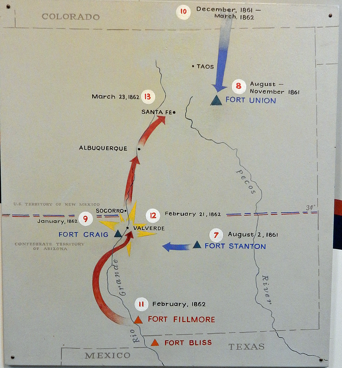
Sometimes Low-Tech graphics are the best...
A simple but clear map of Confederal General Sibley's campaign northwards
up the Rio Grande starting from Fort Bliss in Texas (now El Paso).
Not shown is the Battle of Glorieta Pass (26-28 March 1862)
which occurred when Blue arrow met Red arrow
between Fort Union and Santa Fe by the Pecos River.
Interestingly, the border of New Mexico and Arizona ran east to west, not north to south.
Septemeber 30, 2015